
Your solution for topographic surveys, cadastre and mapping
We combine the tradition of geodesy with the innovations of digital cartography — precise measurements and reliable data flows for accurate projects in any topographical context.
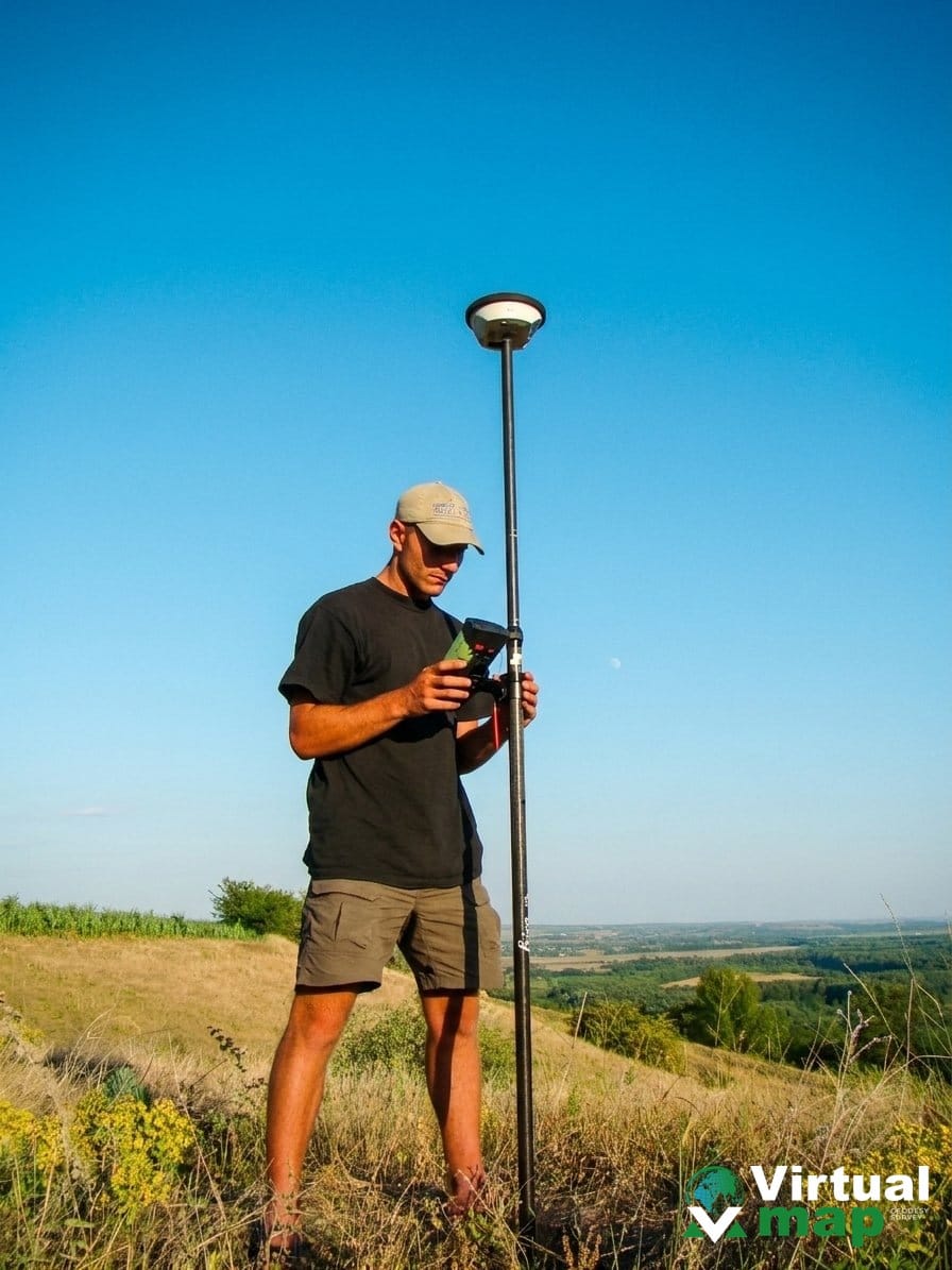
Geodetic surveys shouldn't be complicated. With precise, reliable data, your projects stay accurate — even in the most demanding conditions.
 The Virtual Map team
A geospatial services leader in the Republic of Moldova
Virtual Map SRL holds the ambitious goal of becoming a leader in topography, cadastre, digital cartography and drone mapping services in the Republic of Moldova.
We continuously advance as a top company in land surveying, cadastre, geoinformation systems, digital cartography and photogrammetry.
Four domains, one integrated flow
From field measurements to GIS deliverables and cadastral documentation — all under one roof.
We perform high-precision land measurements for a range of applications, from construction and civil engineering to land-use planning.
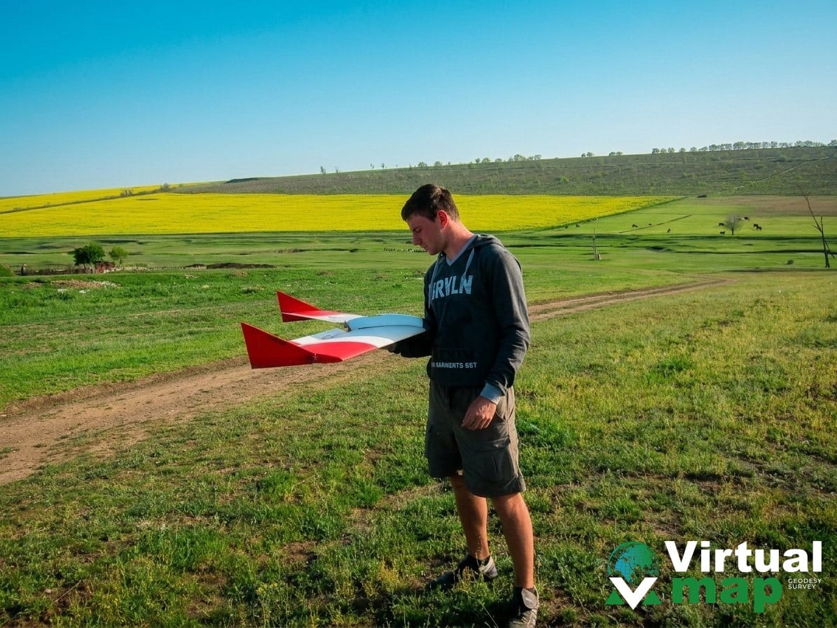
Complete UAV LiDAR scanning solutions — the most advanced topographic surveying method available.
We integrate and analyze geospatial data for tailored solutions and valuable insights.
Complete cadastral services, from identification and updates to property registration.
Why professionals choose us
Advanced geodetic capabilities that ensure precision, consistency and operational efficiency — reliable results across even the most demanding environments.
Professional equipment
A complete toolkit for measurement, mapping and data processing — ready to use in any surveying workflow.
High-precision GNSS
Handle complex terrain and large-scale projects with professional-grade geodetic instruments built for reliability.
Global positioning accuracy
Operate consistently across any region with high-precision positioning powered by GNSS and real-time correction.
Optimized data processing
Process geospatial data efficiently with automated corrections, ensuring accuracy and consistency across all outputs.
UAV LiDAR scanning — the most advanced surveying method
Fast 3D coverage for large surfaces, corridors and difficult terrain. Built to support designers, engineers and architects.
From the field to data
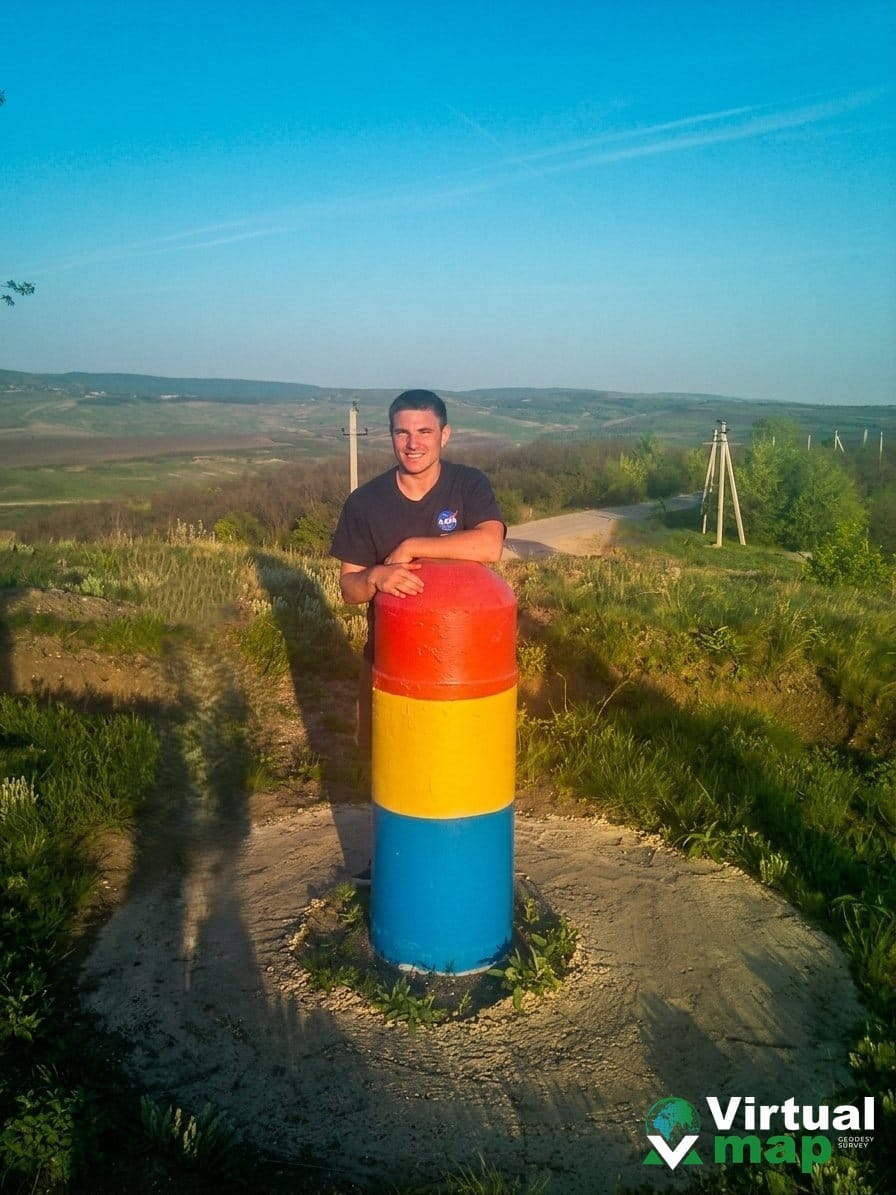
The Virtual Map team at work — from geodetic markers to drone scans and GNSS surveys.
Geodesy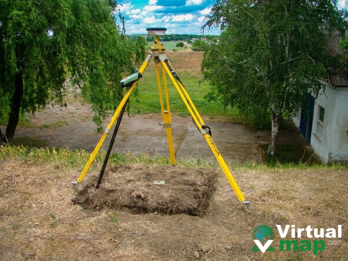 Total station
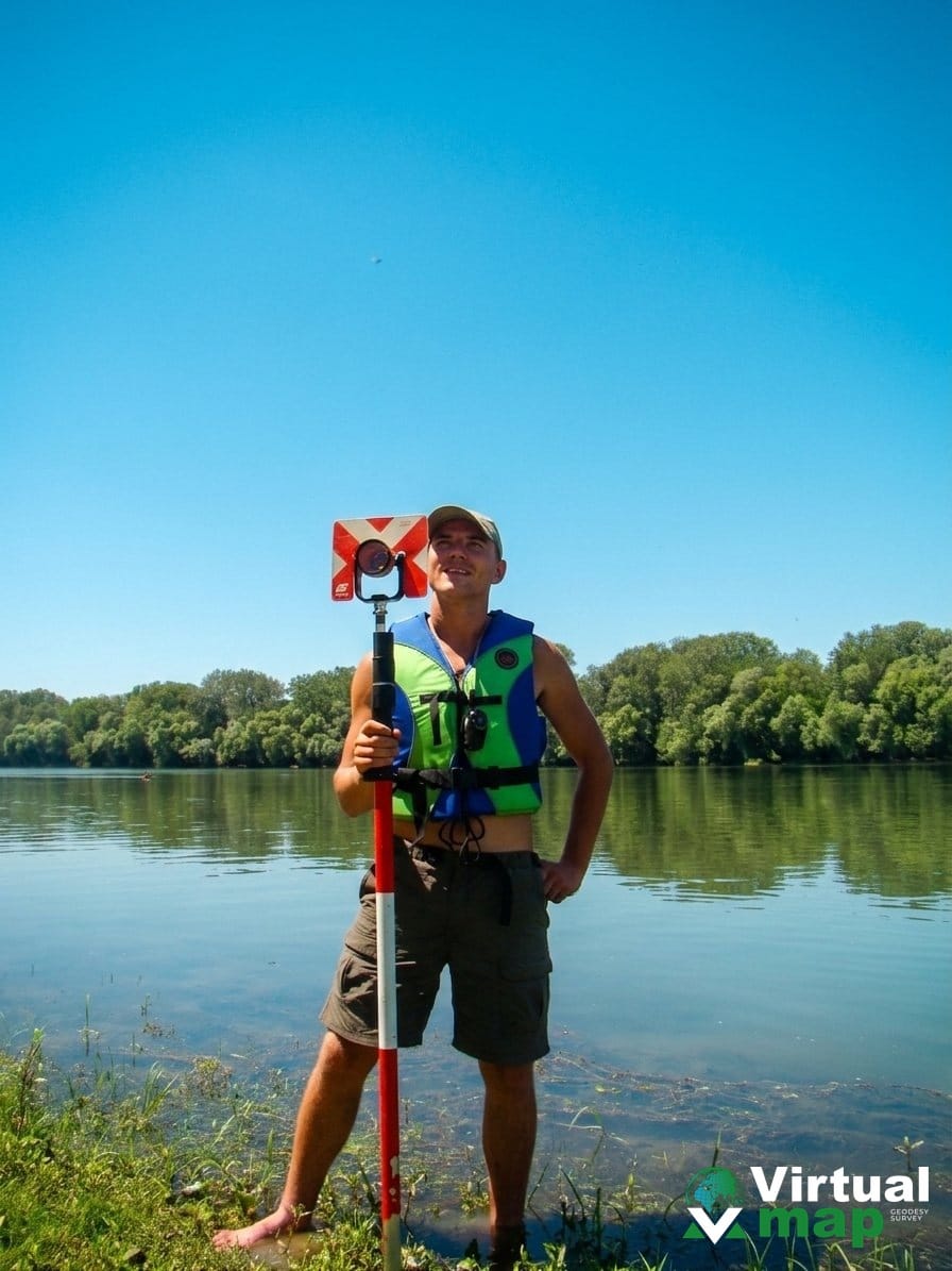 Hydrography
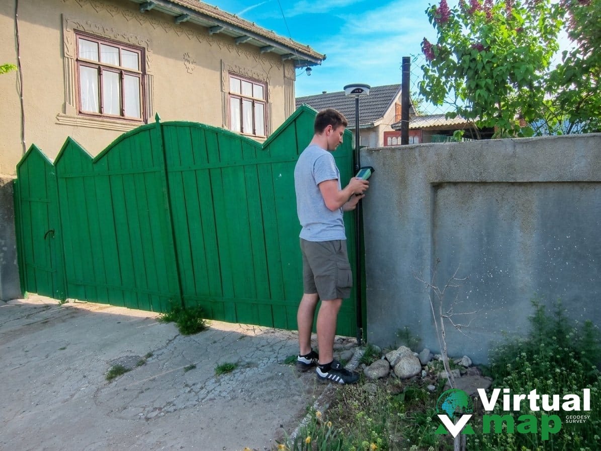 GNSSGNSS
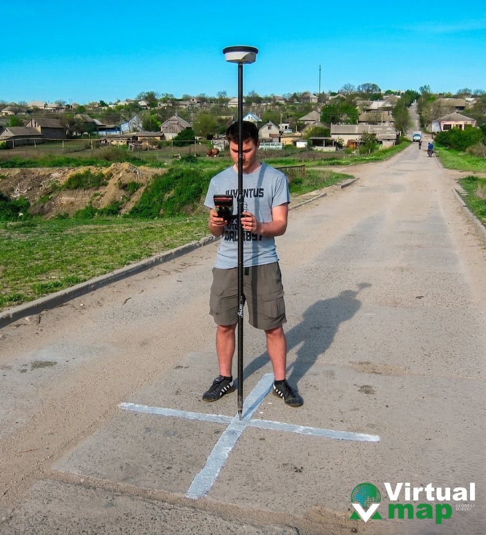 GNSS
GNSS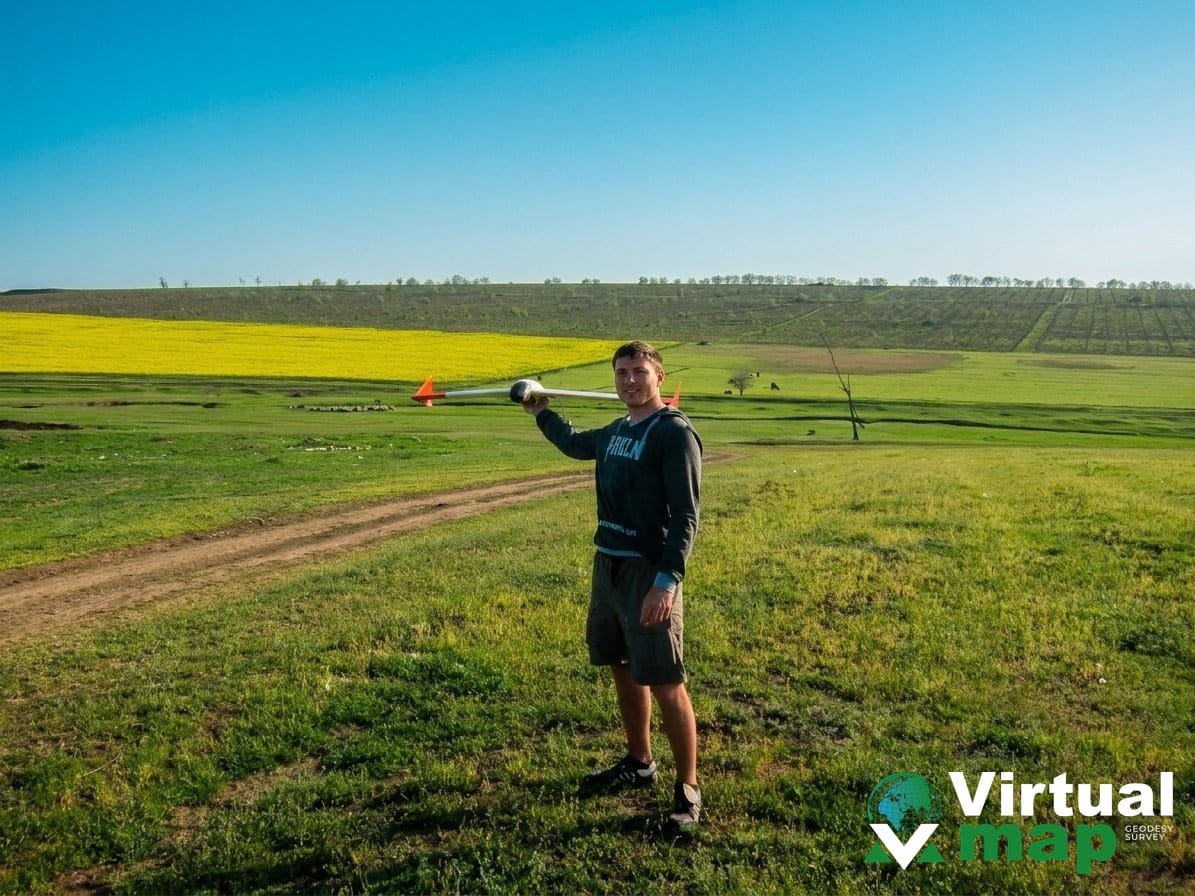 UAV / LiDARUAV
Let's talk about your project
Pick whichever channel suits you — we reply fast and come back with a tailored quote.
